This July I was sent to inventory trails in Oregon, with a little dip into northern California for a few refuges on the border, and one refuge in Idaho before we landed at home. Being that this hitch was relatively close to Idaho, Toji and I didn’t have to book flights anywhere and instead just picked up our rental minivan in the morning, packed it full of our bags of things and cases of technology, a stove, tents, a cooler of food and a box of dry goods, our bikes, and the four-foot level. It was a full load, and despite both of our tendencies to be rather disorganized, we didn’t lose anything. With the doors slammed closed we took to the road and drove to our first refuge, Malheur NWR, in eastern Oregon. The high, hot desert. We camped about in the middle of the 40-mile long refuge and got to see one of those clear desert sunsets and moon-rises.
Between Malheur and the CA refuges we drove through Bend, OR for an important Deschutes brewery tour. We spent one night in Deschutes National Forest cozied up with mosquitoes and hit Crater Lake NP in the morning. We only had time for one hike. The park had lots of snow still, and we couldn’t get to the top of the hike we were doing, but we managed to get up to the rim by making our own path through the snow. It is beautiful.
 |
| Toji at Crater Lake |
The first three refuges (Malhuer in Oregon and Tule Lake and Lower Klamath in California) were all hot and dry. While we worked at Tule Lake and Lower Klamath we got to stay in Lava Beds National Monument. Once we set up our camp we pulled our bikes out of the van and rode around to see some caves. Lava Beds has all these lava tubes that are totally undeveloped besides a staircase down into them. Once you get down there it gets very dark, very cold, and very quiet. There are lots of passage ways off the main route that make you think about what it would be like to get lost in that dark, cold silence. We turned off our headlamps and sat quietly until my mind started to wander into thoughts I didn’t want to have down there. So we flipped our lights back on and felt a little better, but turned around anyway. One that we went into was called Gold Dome and the walls and ceiling were covered with this wet gold/silvery fungus that sparkled like a room with gold-flecked walls.
 |
| Skull Cave is giant |
We stayed in Lava Beds for a couple nights and then drove to Redwoods National Park for the weekend. Both times I’ve been to Redwoods I’ve been coming out of the desert, and that makes me appreciate all the green, moist forest even more. We took a few hikes, craning our necks to see the tops of those giant trees. We sort of accidentally ended up hiking from the 101 all the way down to the ocean. So much downhill… the entire time all I could think was so much uphill. But it was worth it. We popped out right on the Pacific. And the uphill wasn’t even that bad.


Following our weekend we had work at three refuges on the Oregon coast and one outside of Corvallis. William L. Finley NWR was outside of Corvallis in the Williamette River Valley and had lots of work. We stayed there for a few nights in a trailer. The refuge was beautiful and the trails were actually trails! There was also poison oak everywhere but we so far seem to have escaped untouched. Our contact at the refuge was very friendly and ended up interviewing us for the refuge newsletter.
We spent our second weekend in Portland staying with Toji’s cousin. We ended up pitching our tent in his backyard for a few reasons, but maybe mostly because his cousin is in a rock band and it was just better/quieter in the yard. We went and saw his band play a show—they’re called Raremonk. Look them up if you like rock. We did lots of biking around the city. I got to drink cup after cup of great coffee and go to Powells bookstore twice. We bought raspberries and breakfast burritos at the farmers market. And I caught up with one of my friends for a while. It was a good time, although there was lots of rain. Portland is a great city, but I was not really in a city mood, so when we drove out to the coast on Monday it was a relief.
Our last coastal refuges were pretty ideal. One trail led to a giant Sitka spruce, one led to the ocean shore, and the other ones all ended at nice scenic overlooks. We visited the Tillamook cheese factory… it was on the way, twice. We watched hundreds of giant blocks of cheese be cut down to baby loafs and wrapped up in their packaging. Then we sampled all the cheese and then since the sample line shot us right out into the ice cream line, we had ice cream as well. It was great. Also an alarming display of fat Americans in bad dress eating cubes of cheese and over-sized ice cream cones. Sorry to be brutal; just reporting what I saw.
We finished all of our scheduled work a bit early so we rather leisurely made our way back to Idaho. We drove through the Columbia River Gorge and stopped at Maltnomah Falls. We stayed near Hood River for a night and did a big hike in the gorge before driving further toward Idaho. We ended our hitch at Deer Flat NWR in Nampa, ID. Only 45 minutes from home.
 |
| Overlooking the Columbia River Gorge from Dog Mountain |
It was a grand tour of Oregon. Being home has never felt quite so good as it does now. Fortunately I am a Boise office peon next hitch, meaning I get to sleep in the same bed every night. At the cost of staring at the same computer screen every day. But I am willing. It’s HOT in Boise. But we have our ways… on Wednesday we left work a bit early to float the Boise river. We rented four tubes and two rafts and jumped in the cool, cool river. Then you just relax and try to not hit trees on the riverside as you float to the takeout about an hour and a half downriver. There seems to be hundreds of people floating the river everyday here… it’s a fantastic way to escape the heat.
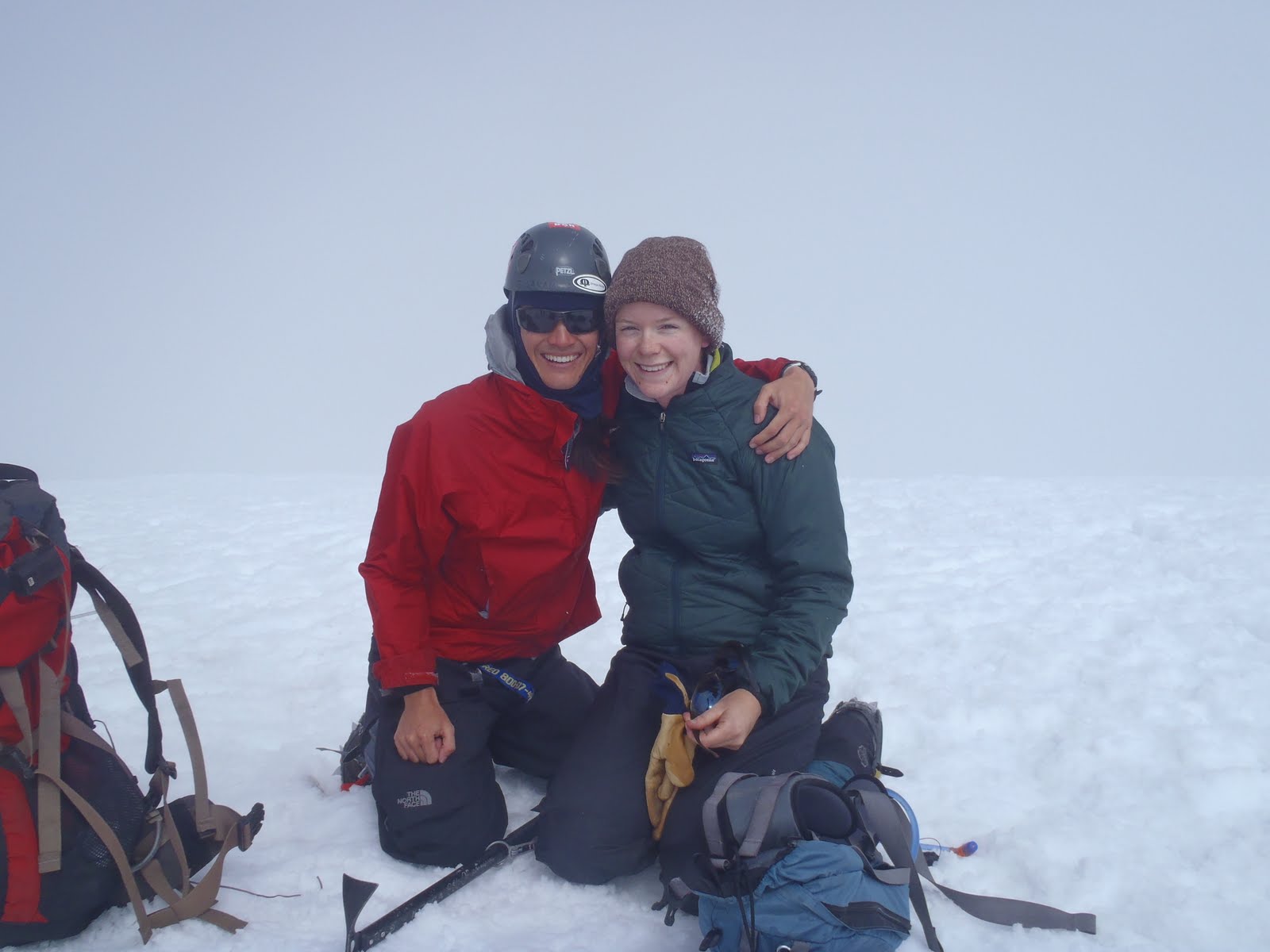
This weekend we’ll trade Boise heat for Washington snow. Five of us are going to attempt to stand on top of Mount Adams… 12,500 ft up in the sky.
I’ll try to write another post while I’m in Boise. My days will be filled with linear referencing, the oddly satisfying but totally intangible job of measuring the distance of each feature point we take from its respective trailhead. And cleaning up the massive mess of data we have created for ourselves. When my mind becomes too boggled by little numbers that are supposed to match little lines and little dots on my computer screen, I will find relief in writing a little update.